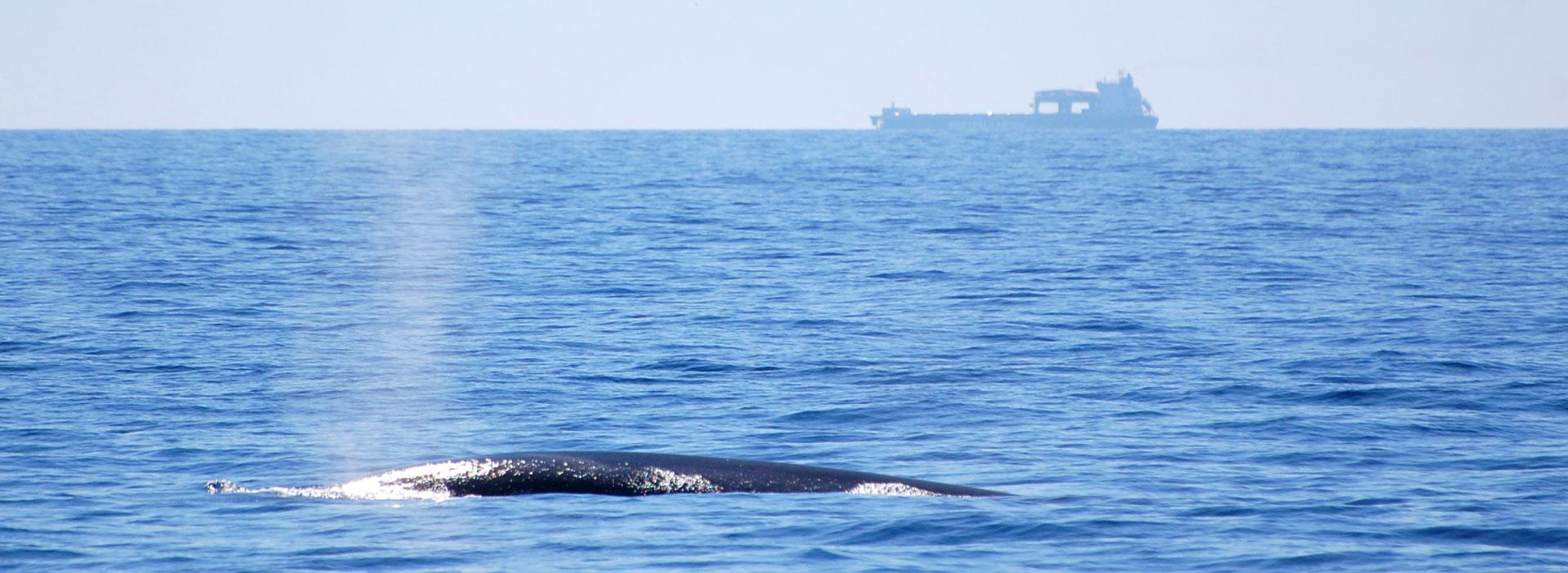
As explained above, REPCET® is a collaborative system and its effectiveness depends on the on-board surveillance and the sharp eye of the navigating crew on the deck.
The aim is simple: when a crew member spots a cetacean, he enters the animal’s position relative to the ship into the software. Thanks to the antenna located on the upper deck the software automatically calculates the position of the ship and so the animal. Then the information is transmitted in real time to all other subscribers and they can see the animal’s position on the map.
The system automatically calculates a “risk zone” that changes over time and corresponds to the area in which the animal probably is since the initial report. Real-time position sharing allows ships to anticipate the approach of a risk area in order to limit collisions between ships and cetaceans.
Beyond the positioning of whale observations, the REPCET system calculates and represents risk zones around the initial observation point. These circular and dynamic areas depend on the ethology: swimming speed, movements… of the species in the concerned area and correspond to the risk of encountering the animal again initially detected.
The definition of these risk zones (opening speed, color variation according to the degree of risk, persistence, etc.) therefore requires a good knowledge of the behavior of the concerned animals. Every summer, a scientific mission aboard the sailboat Tamory (STARS’N’BARS of Monaco) collects new data in order to reinforce knowledge on the movements of fin whales and sperm whales in the Pelagos Sanctuary.
When an animal is detected, it is followed for several hours at a sufficient distance to limit disturbances. Every minute, the scientists on board record its distance, bearing and position. The analysis of the data collected will thus make it possible to refine the rules defining the risk zones.
When a vessel enters a risk area, an alarm is activated on the monitor to alert officers of the potential danger of colliding with the initially reported animal.
The proper operation of the software also depends on the officers’ ability to recognize various species from the deck. Therefore, the MIRACETI NGO provides onboard training during the installation of the software.
Get REPCET
You are interested by the REPCET tool and you would like to get it ?
Contact us !
OTTIENI REPCET
Siete interessati al sistema REPCET e volete installarlo ?
Contattaci !
S'ÉQUIPER
Vous êtes intéressé(e) par le système REPCET et souhaiteriez vous équiper ?